

Art Books by Chris Auman
The illustrated atlas Maps and Cities art books by Chris Auman for one low price!
I refer to Maps and Cities as art books as opposed to comics because they don’t really tell a story. They’re just collections of drawings of things like maps and cities.

Maps Art Illustrated Atlas
Maps by Chris Auman is an illustrated atlas depicting an imaginary continent in a fictitious world. Each page is a section of a small continent existing on some unknown planet.
I’ve been drawing maps for a long time. Probably since the 5th or 6th grade. I started by copying maps from books and drew the British Isles and the continent of Australia. I soon realized it was more fun to create my own maps. It’s easy. You just put your pencil on the paper and go. You have no idea what your landmass will look like until you’re done.
I continued to draw maps as an adult just for fun. It’s a good distraction. I never had any real plan for what to do with them.
Specs.
4.9″ x 6.9″ 24 pages, glossy 110 lb color cover, color throughout, stapled, 100 lb paper, satin finish


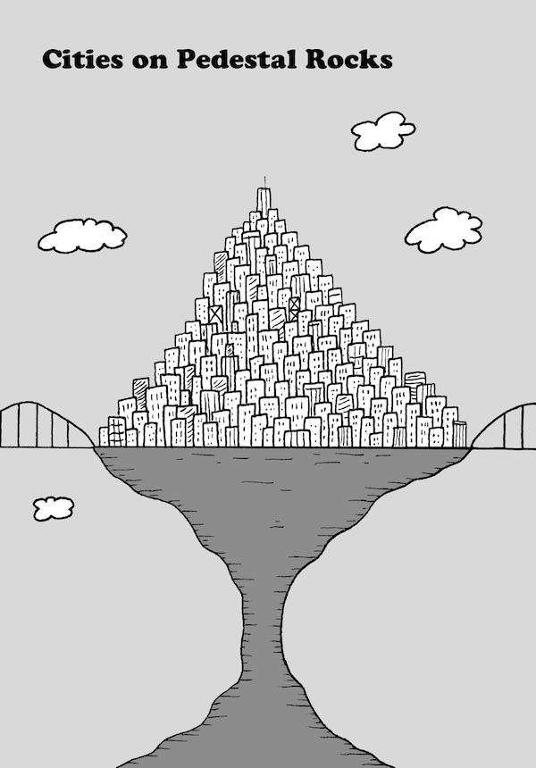
Chris Auman’s Cities Art Book
Cities by Chris Auman is the companion book to my earlier publication Maps. Like that small art book this 28-page effort features the skylines of the largest, most beautiful cities in the world, but not of this world. Some other one.
Cities are living, breathing things. They expand and contract. Some cities are modern and new. Some are ancient and lie buried under layers of soil waiting to be discovered. The cities in this book will be unfamiliar to most. They exist in worlds we don’t know much about. We can’t go there yet, so we have to imagine what they’re like.


Reviews
There are no reviews yet.