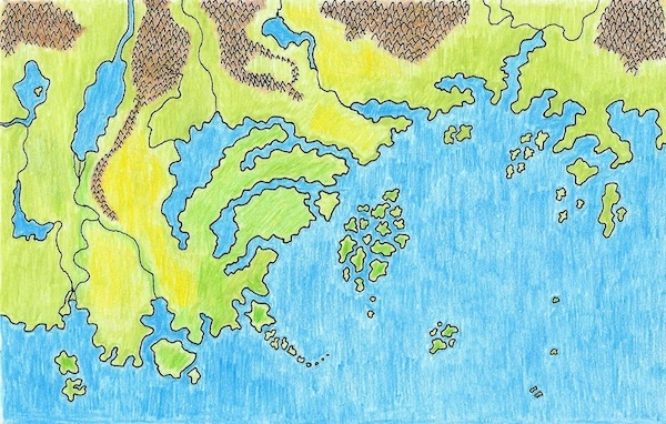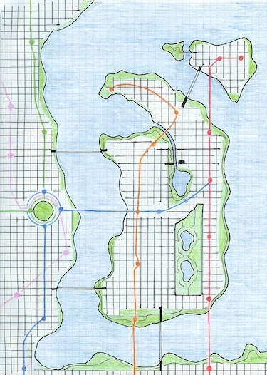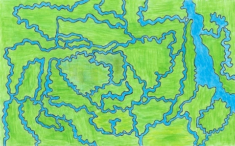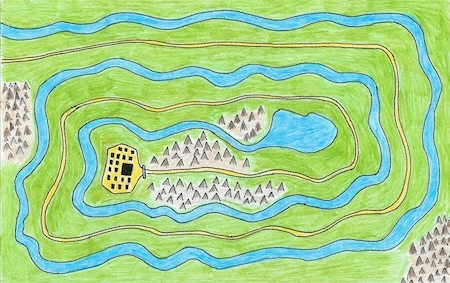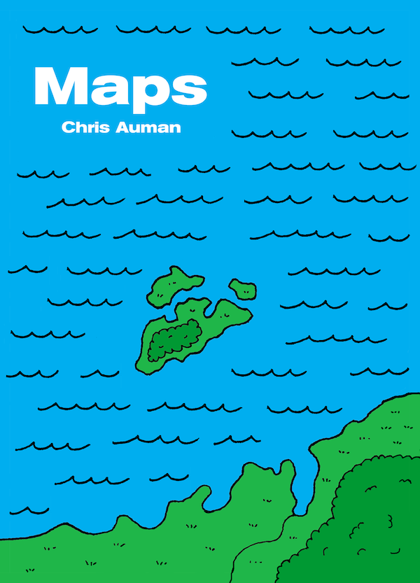
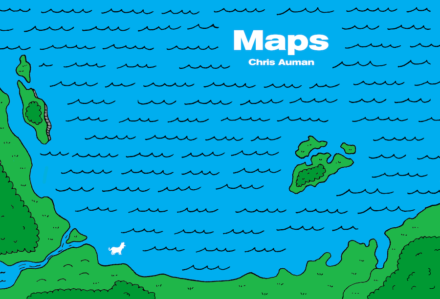
From the introduction to Maps by Chris Auman: “I have always loved maps, even though I have occasionally gotten lost even with their help. I love looking at the mass transit map of your city, even if I’ll never ride a train there. A book with a map in it is a book I want to read.” So says artist Chris Auman in the introduction to this cool little book. This illustrated atlas depicts an imaginary continent in a fictitious world, but don’t they all?
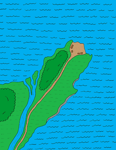
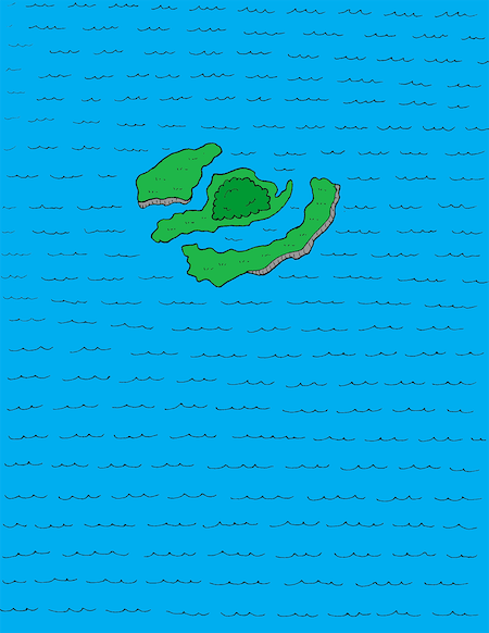
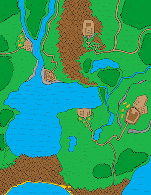
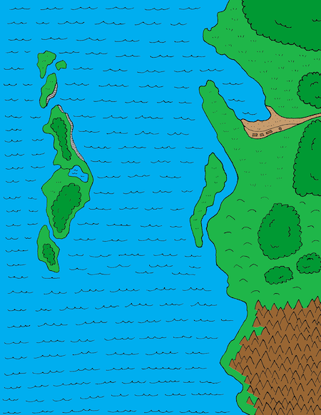
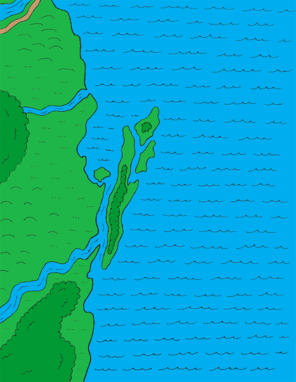
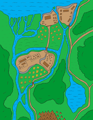
I’ve been drawing maps for a long time. Probably since the 5th or 6th grade. I started by copying maps from books and drew the British Isles and the continent of Australia. I soon realized it was more fun to create my own maps. It’s easy. You just put your pencil on the paper and go. You have no idea what your landmass will look like until you’re done.
I continued to draw maps as an adult just for fun. It’s a good distraction. I never had any real plan for what to do with them.
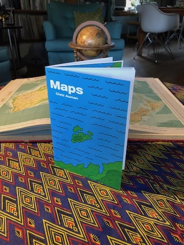
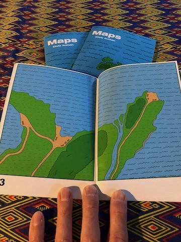
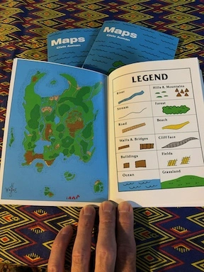
Maps by Chris Auman was created in this spirit. I had one of those desktop calendars on my desk at work. You know, one where you tear off the day of the week. It might have been one where each day had a new word that you were supposed to work into your vocabulary that day.
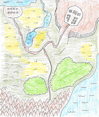
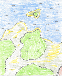
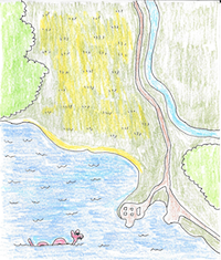
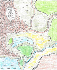
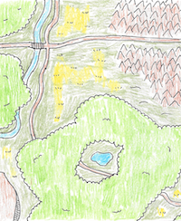
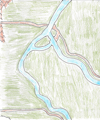
Anyway, I started drawing maps on the back of them. The following images are the original maps I drew at work.


Get Your Maps by Chris Auman
Maps is a companion book to Cities which also features a fictitious world. Order a copy of Maps from the RoosterCow Store. You can also buy Maps and Cities as a set and save some cash.
More Maps
